Online Learning Portal
Online Learning Portal

Hybrid Classes
We provide offline, online and recorded lectures in the same amount.

Personalised Mentoring
Every aspirant is unique and the mentoring is customised according to the strengths and weaknesses of the aspirant

Topicwise Mindmaps
In every Lecture. Director Sir will provide conceptual understanding with around 800 Mindmaps.

Quality Content
We provide you the best and Comprehensive content which comes directly or indirectly in UPSC Exam.

DAILY NEWS ANALYSIS
20 June, 2020
15 Min Read
Past earthquakes scenario In Delhi-NCR:
Why do earthquakes happen in Delhi-NCR?
Impact of Earthquakes in the Himalayas to Delhi-NCR:
Neighbouring faults and ridges
Precautions:
Source: PIB
The Supreme Court of India recently gave a final three-week deadline to the Telangana Assembly Speaker to decide pending disqualification petitions against defecting MLAs under the Anti-Defection Law. What is the Anti-Defection Law? The Anti-Defection Law was introduced through the 52nd Amendment (1985), which added the Tenth Schedule to the
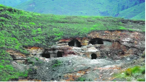
A major disaster unfolded in East Jaintia Hills, Meghalaya, when at least 18 workers died following an explosion in an illegally operating rat-hole coal mine. This incident highlights the continued prevalence of rat-hole mining despite bans imposed by the National Green Tribunal (NGT) and the Supreme Court of India. Rat-hole mining is driven
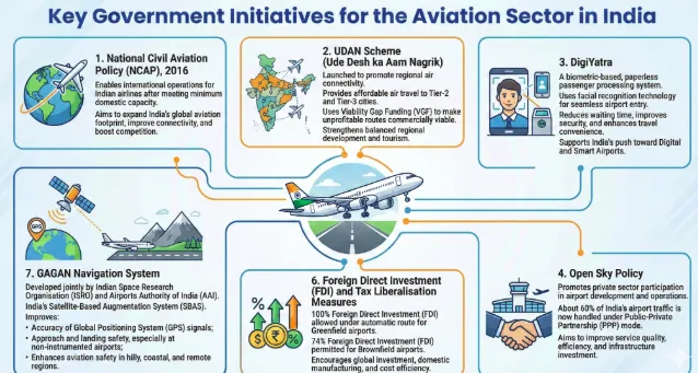
India’s aviation sector has grown rapidly, becoming a major economic success story. However, regulatory oversight has not evolved at the same pace. Data-driven monitoring of fares and market behavior is essential to ensure fair competition, prevent market abuse, and shift from reactive crisis management to proactive regulation. Challen
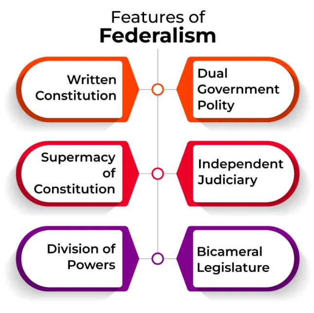
Recently, a high-level committee on Union–State relations submitted its first report to the Government of Tamil Nadu. The report examines the distribution of powers and responsibilities between the Union and the States, highlighting ongoing debates regarding the balance between central authority and state autonomy. This discussion is clos

The relationship between India and the United Arab Emirates has evolved from a traditional energy-based partnership into a comprehensive economic and strategic relationship. Over the years, strong political trust, growing trade, and expanding investments have transformed bilateral ties into a diversified economic corridor. The economic partnership


Our Popular Courses
Module wise Prelims Batches
Mains Batches
Test Series
 My Notes
 Geography And Environment


